The Chilean–Peruvian maritime dispute
The dispute is a territorial dispute between the South American republics of Peru and Chile over the sovereignty of an area at sea in the Pacific Ocean approximately 37,900 square kilometres (14,600 sq mi) in size. Peru contends that its maritime boundary delimitation with Chile is not fixed, but Chile claims that it holds no border issues with Peru. On January 16, 2008, Peru brought forth the case to the International Court of Justice at The Hague, the Netherlands, which accepted the case and formally filed it as the Case concerning maritime delimitation between the Republic of Peru and the Republic of Chile - Perú v. Chile.
The dispute primarily concerns an area at sea between the parallel that crosses the end point of the land border between Chile and Peru, and the bisecting line perpendicular to the coasts of Chile and Peru. This line is formed by the overlapping of the baselines of both countries, forming a trapezoid of 67,139.4 square kilometres (25,922.7 sq mi). Peru requests an equitable division of the maritime territory, but Chile demands sovereignty over approximately 38,000 square kilometres (15,000 sq mi) of the territory. On a secondary level, the dispute includes the status of a maritime triangle to the left of the aforementioned trapezoid, approximately 28,471.86 square kilometres (10,993.05 sq mi) in size, which Chile considers part of the high seas and Peru as part of its maritime domain. |
(6 november 2012) |
La Línea de la Concordia es el nombre dado a la frontera entre Chile y Perú, fijada por medio del Tratado de Lima de 1929, que estableció el retorno de parte de la Provincia de Tacna al Perú y la permanencia de la Provincia de Arica en Chile.
Esta se inicia a 10 km del puente sobre el río Lluta, describiendo un arco de cirfunferencia de 10 km, continuando en forma paralela a 10 km del recorrido de la línea férrea entre Arica y La Paz.
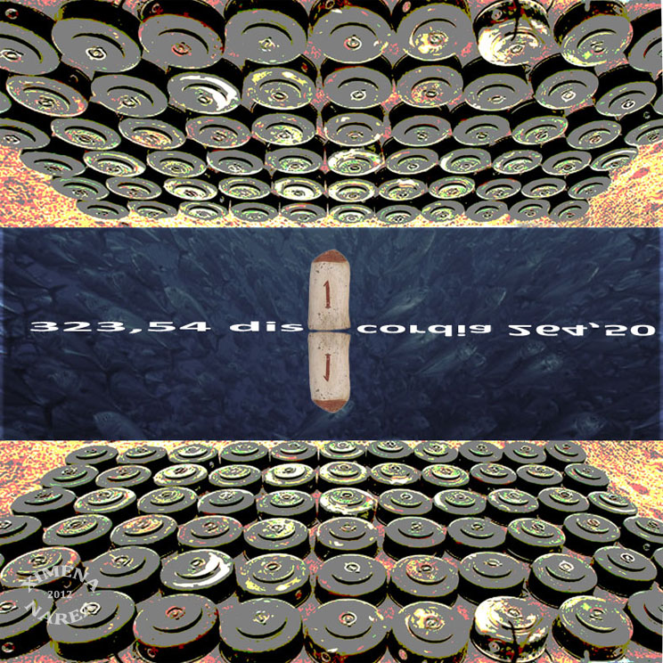
En su punto inicial, Chile y Perú manifiestan diferencias. Para Chile, se inicia a 323,54 m de la costa, en el Hito 1. Para el Perú, se inicia en el Punto Concordia, a 264,50 m del Hito 1. Esta diferencia sobre límites terrestres se ha detallado en la controversia de delimitación marítima entre Chile y el Perú.
En el lado chileno se ubica el Complejo fronterizo Chacalluta, mientras que en el lado peruano se ubica el Complejo Fronterizo Santa Rosa. Ambos complejos fronterizos se encuentran a menos de 1 km de distancia. |